|
search place name
|
||
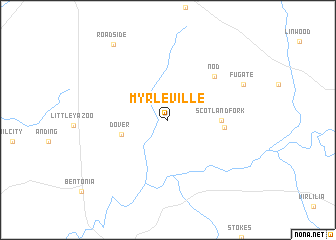
Myrleville (Mississippi, United States - USA)Myrleville is a town in the Mississippi region of United States - USA. An overview map of the region around Myrleville is displayed below.
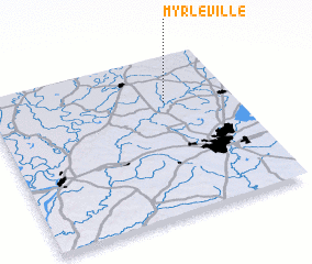
regional and 3d topo map of Myrleville, United States - USA ::
Myrleville airports ::
The nearest airport is JAN - Jackson Evers Intl, located 48.4 km south east of Myrleville.
Other airports nearby include GWO - Greenwood Leflore (88.5 km north), NMM - Meridian Nas (162.6 km east), MLU - Monroe Rgnl (166.7 km west), CBM - Colombus Columbus Afb (199.8 km north east), Nearby towns ::
 Places with similar names to Myrleville, United States - USA ::
// Merrillville (US)
// Morrelville (US)
// Merrillville (US)
// Mar-Le Villa (US)
// Marley Vale (BB)
// Miralvalle (GT)
// Merry-la-Vallée (FR)
Disclaimer :: Information on this page comes without warranty of any kind |
||
|
Where is Myrleville? Elevation and coordinates ::
Latitude (lat): 32°42'47"N Longitude (lon): 90°16'39"W
Elevation (approx.): 84m (map arrows pan, magnifying glasses zoom) |
||
|
Visiting Myrleville? Hotel/Accommodation ::
Book a hotel in Myrleville Travel Guide ::
rental cars ::
car rental offers GPS waypoint ::
download a GPX waypoint (PoI) of Myrleville for your GPS receiver
|
||