|
search place name
|
||
Branch (Missouri, United States - USA)Branch is a town in the Missouri region of United States - USA. An overview map of the region around Branch is displayed below.
regional and 3d topo map of Branch, United States - USA ::

Branch airports ::
The nearest airport is TBN - Fort Leonardwood Waynesville Rgnl Arpt At Forney Fld, located 78.4 km east of Branch.
Other airports nearby include SZL - Knobnoster Whiteman Afb (102.6 km north west), COU - Columbia Rgnl (121.9 km north east), HRO - Harrison Boone Co (183.5 km south), MCI - Kansas City Intl (214.1 km north west), Nearby towns ::
Only (4.8km east) //
Westfield (6.5km south east) //
Tunas (7.1km south) //
Macks Creek (6.9km north east) //
Leadmine (9.1km south east) //
[all distances 'as the bird flies' and approximate] 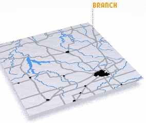 Places with similar names to Branch, United States - USA ::
// Bernaich (AT)
// Branch (US)
// Bernočiai (LT)
// Barrenechea (CU)
// Branesh (AL)
// Borynichi (UA)
// Boranchi (RU)
// Buranchi (RU)
// Buruncha (RU)
// Borneh Chāh (IR)
Disclaimer :: Information on this page comes without warranty of any kind |
||
|
Where is Branch? Elevation and coordinates ::
Latitude (lat): 37°54'39"N Longitude (lon): 93°0'18"W
Elevation (approx.): 344m (map arrows pan, magnifying glasses zoom) |
||
|
Visiting Branch? Hotel/Accommodation ::
Book a hotel in Branch Travel Guide ::
rental cars ::
car rental offers GPS waypoint ::
download a GPX waypoint (PoI) of Branch for your GPS receiver
|
||