|
search place name
|
||
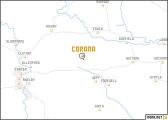
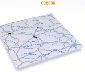
Corona (Missouri, United States - USA)Corona is a town in the Missouri region of United States - USA. An overview map of the region around Corona is displayed below.
regional and 3d topo map of Corona, United States - USA ::
Corona airports ::
The nearest airport is JBR - Jonesboro Muni, located 105.4 km south east of Corona.
Other airports nearby include BYH - Blytheville Arkansas Intl (147.1 km south east), TBN - Fort Leonardwood Waynesville Rgnl Arpt At Forney Fld (147.1 km north west), HRO - Harrison Boone Co (159.6 km west), NQA - Millington Rgnl Jetport (192.1 km south east), Nearby towns ::
 Places with similar names to Corona, United States - USA ::
Disclaimer :: Information on this page comes without warranty of any kind |
||
|
Where is Corona? Elevation and coordinates ::
Latitude (lat): 36°33'4"N Longitude (lon): 91°24'42"W
Elevation (approx.): 283m (map arrows pan, magnifying glasses zoom) |
||
|
Visiting Corona? Hotel/Accommodation ::
Book a hotel in Corona Travel Guide ::
rental cars ::
car rental offers GPS waypoint ::
download a GPX waypoint (PoI) of Corona for your GPS receiver
|
||