|
search place name
|
||
Greenbrier (Missouri, United States - USA)Greenbrier is a town in the Missouri region of United States - USA. An overview map of the region around Greenbrier is displayed below.
regional and 3d topo map of Greenbrier, United States - USA ::

Greenbrier airports ::
The nearest airport is BYH - Blytheville Arkansas Intl, located 127.4 km south of Greenbrier.
Other airports nearby include JBR - Jonesboro Muni (152.4 km south), BLV - Belleville Scott Afb Midamerica (160.1 km north), STL - St. Louis Lambert St Louis Intl (184.3 km north), MKL - Jackson Mc Kellar Sipes Rgnl (195.0 km south east), Nearby towns ::
Arab (4.9km south west) //
Zalma (5.9km north west) //
Sturdivant (6.9km south) //
Sank (6.9km north) //
Castor (6.3km south east) //
Schlatitz (7.5km north east) //
Eaglette (8.4km south) //
Brownwood (7.1km south east) //
Dongola (8.7km north east) //
[all distances 'as the bird flies' and approximate] 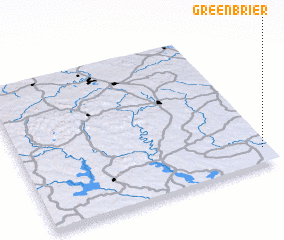 Places with similar names to Greenbrier, United States - USA ::
// Greenbrier (US)
// Greenbrier (US)
// Greenbriar (US)
// Greenbrier (US)
// Green Briar (US)
// Greenbriar (US)
// Greenbrier (US)
// Green Brier (US)
// Greenbriar (US)
// Greenbriar (US)
Disclaimer :: Information on this page comes without warranty of any kind |
||
|
Where is Greenbrier? Elevation and coordinates ::
Latitude (lat): 37°6'38"N Longitude (lon): 90°1'32"W
Elevation (approx.): 116m (map arrows pan, magnifying glasses zoom) |
||
|
Visiting Greenbrier? Hotel/Accommodation ::
Book a hotel in Greenbrier Travel Guide ::
rental cars ::
car rental offers GPS waypoint ::
download a GPX waypoint (PoI) of Greenbrier for your GPS receiver
|
||