|
search place name
|
||
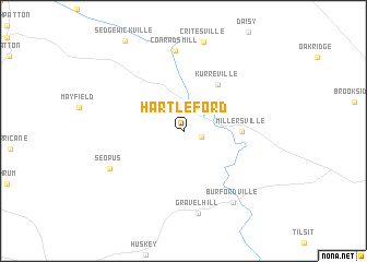
Hartle Ford (Missouri, United States - USA)Hartle Ford is a town in the Missouri region of United States - USA. An overview map of the region around Hartle Ford is displayed below.
regional and 3d topo map of Hartle Ford, United States - USA ::
Hartle Ford airports ::
The nearest airport is BLV - Belleville Scott Afb Midamerica, located 123.5 km north of Hartle Ford.
Other airports nearby include STL - St. Louis Lambert St Louis Intl (152.9 km north), BYH - Blytheville Arkansas Intl (163.2 km south), JBR - Jonesboro Muni (191.3 km south), MKL - Jackson Mc Kellar Sipes Rgnl (220.1 km south east), Nearby towns ::
Reynolds Ford (1.6km east) //
Kurreville (5.5km north east) //
Millersville (4.7km east) //
Conrads Mill (8.2km north) //
Seopus (7.1km south west) //
Gravel Hill (8.5km south) //
Burfordville (8.4km south east) //
[all distances 'as the bird flies' and approximate] 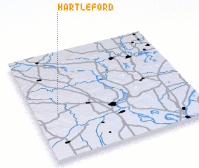 Places with similar names to Hartle Ford, United States - USA ::
// Herdleværet (NO)
Disclaimer :: Information on this page comes without warranty of any kind |
||
|
Where is Hartle Ford? Elevation and coordinates ::
Latitude (lat): 37°25'59"N Longitude (lon): 89°51'11"W
Elevation (approx.): 132m (map arrows pan, magnifying glasses zoom) |
||
|
Visiting Hartle Ford? Hotel/Accommodation ::
Book a hotel in Hartle Ford Travel Guide ::
rental cars ::
car rental offers GPS waypoint ::
download a GPX waypoint (PoI) of Hartle Ford for your GPS receiver
|
||