|
search place name
|
||
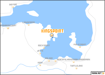
Kings Point (Montana, United States - USA)Kings Point is a town in the Montana region of United States - USA. An overview map of the region around Kings Point is displayed below.
regional and 3d topo map of Kings Point, United States - USA ::
Kings Point airports ::
The nearest airport is CTB - Cutbank Cut Bank Muni, located 161.6 km north east of Kings Point.
Other airports nearby include YQL - Lethbridge (229.7 km north east), YXC - Cranbrook (237.5 km north west), Nearby towns ::
Rocky Point (4.3km south west) //
Jette (6.4km south west) //
Polson (8.4km south) //
Belle-Vue Court (8.5km south) //
Lindisfarne (7.3km north west) //
Peaceful Haven Mobile Home Park (10.1km south east) //
[all distances 'as the bird flies' and approximate] 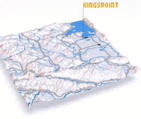 Places with similar names to Kings Point, United States - USA ::
// Kings Point (US)
// Kings Point (US)
// Kings Point (US)
// Kings Point (US)
// Kings Point (US)
// Kings Point (US)
// Kingspoint (US)
// Kings Point (CA)
Disclaimer :: Information on this page comes without warranty of any kind |
||
|
Where is Kings Point? Elevation and coordinates ::
Latitude (lat): 47°46'6"N Longitude (lon): 114°9'2"W
Elevation (approx.): 894m (map arrows pan, magnifying glasses zoom) |
||
|
Visiting Kings Point? Hotel/Accommodation ::
Book a hotel in Kings Point Travel Guide ::
rental cars ::
car rental offers GPS waypoint ::
download a GPX waypoint (PoI) of Kings Point for your GPS receiver
|
||