|
search place name
|
||
Marie Camp (Nevada, United States - USA)Marie Camp is a town in the Nevada region of United States - USA. An overview map of the region around Marie Camp is displayed below.
regional and 3d topo map of Marie Camp, United States - USA ::

Marie Camp airports ::
The nearest airport is LAS - Las Vegas Mc Carran Intl, located 51.2 km north west of Marie Camp.
Other airports nearby include LSV - Las Vegas Nellis Afb (61.8 km north), PSP - Palm Springs Intl (259.5 km south west), CDC - Cedar City Rgnl (269.2 km north east), Nearby towns ::
Nelson (0.7km west) //
Lucky Jim Camp (1.4km south east) //
[all distances 'as the bird flies' and approximate] 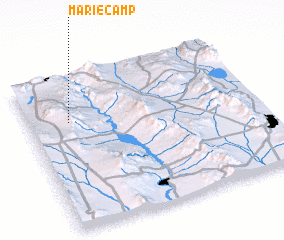 Places with similar names to Marie Camp, United States - USA ::
// Maricamp (US)
// Moorkamp (DE)
// Moorkamp (DE)
// Muarakumpe (ID)
// Muarakumpe (ID)
// Mary Camp (LR)
Disclaimer :: Information on this page comes without warranty of any kind |
||
|
Where is Marie Camp? Elevation and coordinates ::
Latitude (lat): 35°42'30"N Longitude (lon): 114°49'0"W
Elevation (approx.): 863m (map arrows pan, magnifying glasses zoom) |
||
|
Visiting Marie Camp? Hotel/Accommodation ::
Book a hotel in Marie Camp Travel Guide ::
rental cars ::
car rental offers GPS waypoint ::
download a GPX waypoint (PoI) of Marie Camp for your GPS receiver
|
||