|
search place name
|
||
Englewood (New Jersey, United States - USA)Englewood is a town in the New Jersey region of United States - USA. An overview map of the region around Englewood is displayed below.
regional and 3d topo map of Englewood, United States - USA ::

nearby GPS traces from timatio ::
Englewood airports ::
The nearest airport is TEB - Teterboro, located 8.8 km south west of Englewood.
Other airports nearby include LGA - New York La Guardia (15.4 km south east), EWR - Newark Liberty Intl (27.7 km south west), HPN - White Plains Westchester Co (29.6 km north east), JFK - New York John F Kennedy Intl (32.5 km south east), Nearby towns ::
Englewood Cliffs (1.9km south east) //
Linwood (3.3km south) //
Coytesville (3.3km south) //
West Englewood (2.8km west) //
Undercliff (2.7km east) //
Tenafly (3.7km north) //
Leonia (3.7km south) //
Fort Lee (4.7km south) //
Bergenfield (4.4km north west) //
Teaneck (3.7km west) //
Cresskill (5.5km north) //
Palisades Park (5.4km south west) //
Inwood (4.9km south east) //
Dumont (5.7km north) //
Spuyten Duyvil (4.8km east) //
Washington Heights (5.7km south east) //
Huyler Landing (5.5km north east) //
Morsemere (6.2km south west) //
Bogota (5.2km west) //
New Bridge (5.4km north west) //
Ridgefield Park (5.7km south west) //
West View (5.6km south west) //
New Milford (6.1km north west) //
Demarest (7.2km north) //
Edgewater (7.3km south) //
Riverdale (5.7km east) //
Grantwood (7.5km south) //
Morris Heights (6.5km south east) //
Ridgefield (7.2km south west) //
[all distances 'as the bird flies' and approximate] 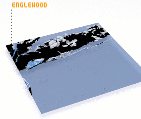 Places with similar names to Englewood, United States - USA ::
Disclaimer :: Information on this page comes without warranty of any kind |
||
|
Where is Englewood? Elevation and coordinates ::
Latitude (lat): 40°53'34"N Longitude (lon): 73°58'23"W
Elevation (approx.): 14m (map arrows pan, magnifying glasses zoom) |
||
|
Visiting Englewood? Hotel/Accommodation ::
Book a hotel in Englewood Travel Guide ::
rental cars ::
car rental offers GPS waypoint ::
download a GPX waypoint (PoI) of Englewood for your GPS receiver
|
||