|
search place name
|
||
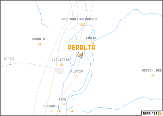
Peralta (New Mexico, United States - USA)Peralta is a town in the New Mexico region of United States - USA. An overview map of the region around Peralta is displayed below.
regional and 3d topo map of Peralta, United States - USA ::
Peralta airports ::
The nearest airport is ABQ - Albuquerque Intl Sunport (Kirtland Afb), located 23.7 km north of Peralta.
Other airports nearby include TCS - Truth Or Consequences Muni (185.4 km south), HMN - Alamogordo Holloman Afb (226.6 km south), Nearby towns ::
Bosque Farms (2.4km north west) //
La Ladera (2.5km south east) //
Chical (4.0km north east) //
Valencia (4.3km south) //
Los Lentes (4.1km west) //
Los Lunas (5.2km south west) //
Isleta (7.8km north) //
Isleta Pueblo (7.8km north) //
Isleta Village Proper (7.9km north) //
[all distances 'as the bird flies' and approximate] 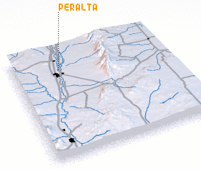 Places with similar names to Peralta, United States - USA ::
Disclaimer :: Information on this page comes without warranty of any kind |
||
|
Where is Peralta? Elevation and coordinates ::
Latitude (lat): 34°50'13"N Longitude (lon): 106°41'24"W
Elevation (approx.): 1481m (map arrows pan, magnifying glasses zoom) |
||
|
Visiting Peralta? Hotel/Accommodation ::
Book a hotel in Peralta Travel Guide ::
rental cars ::
car rental offers GPS waypoint ::
download a GPX waypoint (PoI) of Peralta for your GPS receiver
|
||