|
search place name
|
||
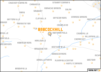
Babcock Hill (New York, United States - USA)Babcock Hill is a town in the New York region of United States - USA. An overview map of the region around Babcock Hill is displayed below.
regional and 3d topo map of Babcock Hill, United States - USA ::
Babcock Hill airports ::
The nearest airport is SYR - Syracuse Hancock Intl, located 74.9 km west of Babcock Hill.
Other airports nearby include ALB - Albany Intl (117.8 km east), GTB - Fort Drum Wheeler Sack Aaf (131.2 km north), ART - Watertown Intl (134.4 km north west), YGK - Kingston (181.7 km north west), Nearby towns ::
North Bridgewater (2.3km west) //
Ritchfield Junction (2.5km north west) //
North Winfield (2.7km east) //
Cassville (3.2km north west) //
Mapledale (3.9km south west) //
Cedar Lake (4.5km north east) //
West Winfield (5.6km south east) //
Clayville (5.9km north west) //
Days Corners (6.3km north east) //
Bridgewater (6.3km south west) //
Greens Crossing (5.4km north west) //
Hitching Corner (6.6km south east) //
Woods Corners (8.1km south) //
Sauquoit (8.7km north) //
East Winfield (7.8km south east) //
Jersalem Hill (7.9km north east) //
Gulph (10.1km north east) //
[all distances 'as the bird flies' and approximate] 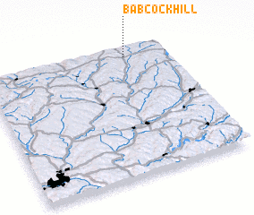 Places with similar names to Babcock Hill, United States - USA :: Disclaimer :: Information on this page comes without warranty of any kind |
||
|
Where is Babcock Hill? Elevation and coordinates ::
Latitude (lat): 42°55'54"N Longitude (lon): 75°13'16"W
Elevation (approx.): 414m (map arrows pan, magnifying glasses zoom) |
||
|
Visiting Babcock Hill? Hotel/Accommodation ::
Book a hotel in Babcock Hill Travel Guide ::
rental cars ::
car rental offers GPS waypoint ::
download a GPX waypoint (PoI) of Babcock Hill for your GPS receiver
|
||