|
search place name
|
||
Canawaugus (New York, United States - USA)Canawaugus is a town in the New York region of United States - USA. An overview map of the region around Canawaugus is displayed below.
regional and 3d topo map of Canawaugus, United States - USA ::

Canawaugus airports ::
The nearest airport is ROC - Greater Rochester Intl, located 23.0 km north of Canawaugus.
Other airports nearby include BUF - Buffalo Niagara Intl (77.8 km west), IAG - Niagara Falls Intl (97.2 km west), YTR - Trenton (134.0 km north), SYR - Syracuse Hancock Intl (137.9 km east), Nearby towns ::
Ashantee (3.5km south) //
Toggletown (2.9km west) //
Avon (3.2km south east) //
Littleville (3.9km south east) //
Maxwell (5.6km north) //
Baker (5.7km north) //
Menzie Crossing (6.5km north) //
South Avon (6.8km south) //
Meadow Wood (5.5km north east) //
Fowlerville (6.6km south west) //
East Avon (6.3km east) //
Golah (7.1km north east) //
Caledonia (7.9km north west) //
Wheatland Center (9.5km north) //
West Rush (8.5km north east) //
Conesus Lake Junction (10.0km south east) //
North Rush (10.4km north east) //
[all distances 'as the bird flies' and approximate] 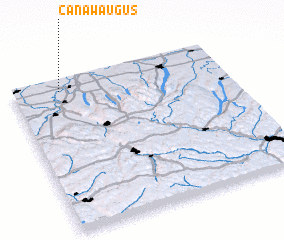 Places with similar names to Canawaugus, United States - USA :: Disclaimer :: Information on this page comes without warranty of any kind |
||
|
Where is Canawaugus? Elevation and coordinates ::
Latitude (lat): 42°55'37"N Longitude (lon): 77°46'47"W
Elevation (approx.): 179m (map arrows pan, magnifying glasses zoom) |
||
|
Visiting Canawaugus? Hotel/Accommodation ::
Book a hotel in Canawaugus Travel Guide ::
rental cars ::
car rental offers GPS waypoint ::
download a GPX waypoint (PoI) of Canawaugus for your GPS receiver
|
||