|
search place name
|
||
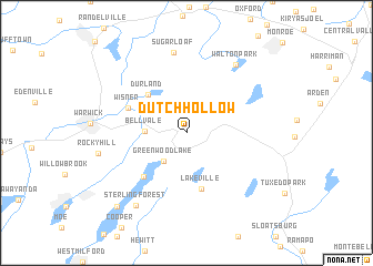
Dutch Hollow (New York, United States - USA)Dutch Hollow is a town in the New York region of United States - USA. An overview map of the region around Dutch Hollow is displayed below.
regional and 3d topo map of Dutch Hollow, United States - USA ::
Dutch Hollow airports ::
The nearest airport is SWF - Newburgh Stewart Intl, located 31.7 km north east of Dutch Hollow.
Other airports nearby include TEB - Teterboro (47.7 km south), HPN - White Plains Westchester Co (51.6 km south east), LGA - New York La Guardia (62.3 km south east), EWR - Newark Liberty Intl (62.4 km south), Nearby towns ::
Greenwood Lake (3.4km south west) //
Bellvale (3.1km west) //
Durland (4.8km north west) //
Lakeville (5.8km south) //
Indian Park (5.5km south west) //
Wisner (5.1km north west) //
Sugar Loaf (8.1km north) //
Walton Park (7.8km north east) //
Sterling Forest (8.2km south west) //
Rocky Hill (7.0km west) //
Lakeside (9.1km south west) //
[all distances 'as the bird flies' and approximate] 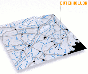 Places with similar names to Dutch Hollow, United States - USA ::
// Dutch Hollow (US)
// Dutch Alley (US)
// Dutch Hill (US)
// Dutch Hill (US)
// Dutch Hill (US)
// Ditchley (US)
// Tūteh Chāl (IR)
// Deti Sīāl (PK)
// Dodo Siāl (PK)
// Dudīshāl (PK)
Disclaimer :: Information on this page comes without warranty of any kind |
||
|
Where is Dutch Hollow? Elevation and coordinates ::
Latitude (lat): 41°14'54"N Longitude (lon): 74°16'26"W
Elevation (approx.): 221m (map arrows pan, magnifying glasses zoom) |
||
|
Visiting Dutch Hollow? Hotel/Accommodation ::
Book a hotel in Dutch Hollow Travel Guide ::
rental cars ::
car rental offers GPS waypoint ::
download a GPX waypoint (PoI) of Dutch Hollow for your GPS receiver
|
||