|
search place name
|
||
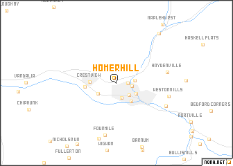
Homer Hill (New York, United States - USA)Homer Hill is a town in the New York region of United States - USA. An overview map of the region around Homer Hill is displayed below.
regional and 3d topo map of Homer Hill, United States - USA ::
Homer Hill airports ::
The nearest airport is BUF - Buffalo Niagara Intl, located 96.7 km north of Homer Hill.
Other airports nearby include IAG - Niagara Falls Intl (119.6 km north), ROC - Greater Rochester Intl (130.3 km north east), IPT - Williamsport Rgnl (158.7 km south east), YHM - Hamilton (170.9 km north west), Nearby towns ::
North Olean (1.4km east) //
Boardmanville (1.9km east) //
South Olean (2.5km south) //
Olean (2.5km south east) //
Baldwin Heights (2.2km east) //
St. Bonaventure (2.8km south west) //
East Olean (2.9km south east) //
Seneca Heights (3.5km south east) //
Crestview (3.2km west) //
Allegany (3.8km west) //
Haydenville (6.3km east) //
Four Mile (8.5km south) //
Weston Mills (6.7km east) //
Westons Mills (7.0km south east) //
Hinsdale (9.5km north east) //
[all distances 'as the bird flies' and approximate] 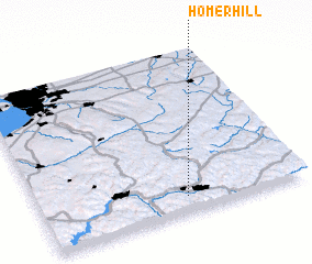 Places with similar names to Homer Hill, United States - USA ::
// Hammer Hall (US)
Disclaimer :: Information on this page comes without warranty of any kind |
||
|
Where is Homer Hill? Elevation and coordinates ::
Latitude (lat): 42°5'44"N Longitude (lon): 78°26'56"W
Elevation (approx.): 441m (map arrows pan, magnifying glasses zoom) |
||
|
Visiting Homer Hill? Hotel/Accommodation ::
Book a hotel in Homer Hill Travel Guide ::
rental cars ::
car rental offers GPS waypoint ::
download a GPX waypoint (PoI) of Homer Hill for your GPS receiver
|
||