|
search place name
|
||
Redbird (New York, United States - USA)Redbird is a town in the New York region of United States - USA. An overview map of the region around Redbird is displayed below.
regional and 3d topo map of Redbird, United States - USA ::

Redbird airports ::
The nearest airport is BUF - Buffalo Niagara Intl, located 91.6 km north east of Redbird.
Other airports nearby include IAG - Niagara Falls Intl (101.6 km north), YHM - Hamilton (117.0 km north west), YTZ - Toronto City Centre (155.4 km north), YNG - Youngstown Warren Rgnl (157.4 km south west), Nearby towns ::
South Stockton (2.1km north west) //
Towerville (2.4km south) //
Sinclairville (5.0km north east) //
Moons (5.9km north) //
Kabob (6.0km north) //
Centralia (5.1km north west) //
Gerry (5.8km south east) //
Ellery Center (6.6km south west) //
Kimball Stand (7.2km south east) //
Charlotte Center (9.7km north east) //
Ross Mills (10.1km south east) //
Phillips Mills (10.6km south west) //
[all distances 'as the bird flies' and approximate] 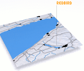 Places with similar names to Redbird, United States - USA ::
Disclaimer :: Information on this page comes without warranty of any kind |
||
|
Where is Redbird? Elevation and coordinates ::
Latitude (lat): 42°13'49"N Longitude (lon): 79°17'58"W
Elevation (approx.): 400m (map arrows pan, magnifying glasses zoom) |
||
|
Visiting Redbird? Hotel/Accommodation ::
Book a hotel in Redbird Travel Guide ::
rental cars ::
car rental offers GPS waypoint ::
download a GPX waypoint (PoI) of Redbird for your GPS receiver
|
||