|
search place name
|
||
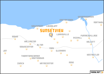
Sunset View (New York, United States - USA)Sunset View is a town in the New York region of United States - USA. An overview map of the region around Sunset View is displayed below.
regional and 3d topo map of Sunset View, United States - USA ::
Sunset View airports ::
The nearest airport is ROC - Greater Rochester Intl, located 61.0 km west of Sunset View.
Other airports nearby include SYR - Syracuse Hancock Intl (69.5 km east), YTR - Trenton (108.1 km north west), ART - Watertown Intl (111.4 km north east), YGK - Kingston (112.5 km north), Nearby towns ::
Bonni Castle (0.9km south east) //
Resort (2.5km south east) //
Lake Bluff (3.1km north) //
Lummisville (2.8km east) //
York (4.9km south) //
Alton (4.9km south west) //
Sodus Point (4.9km north west) //
Glenmark (6.3km south) //
North Huron (5.1km north east) //
Huron (5.1km east) //
East Bay Park (6.5km north east) //
Wallington (6.3km south west) //
North Rose (7.7km south east) //
South Sodus (9.3km south west) //
Thorntons Corner (9.6km south west) //
[all distances 'as the bird flies' and approximate] 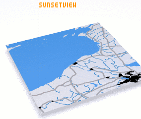 Places with similar names to Sunset View, United States - USA ::
Disclaimer :: Information on this page comes without warranty of any kind |
||
|
Where is Sunset View? Elevation and coordinates ::
Latitude (lat): 43°14'40"N Longitude (lon): 76°56'30"W
Elevation (approx.): 73m (map arrows pan, magnifying glasses zoom) |
||
|
Visiting Sunset View? Hotel/Accommodation ::
Book a hotel in Sunset View Travel Guide ::
rental cars ::
car rental offers GPS waypoint ::
download a GPX waypoint (PoI) of Sunset View for your GPS receiver
|
||