|
search place name
|
||
Wawarsing (New York, United States - USA)Wawarsing is a town in the New York region of United States - USA. An overview map of the region around Wawarsing is displayed below.
regional and 3d topo map of Wawarsing, United States - USA ::

Wawarsing airports ::
The nearest airport is SWF - Newburgh Stewart Intl, located 35.3 km south east of Wawarsing.
Other airports nearby include HPN - White Plains Westchester Co (94.1 km south east), TEB - Teterboro (103.9 km south), LGA - New York La Guardia (116.4 km south), ALB - Albany Intl (119.1 km north), Nearby towns ::
Port Ben (1.3km south east) //
Napanoch (2.0km south west) //
Honk Hill (1.9km west) //
Brownville (4.9km north west) //
Ellenville (5.6km south west) //
Pataukunk (5.6km north east) //
Kerhonkson (5.2km east) //
Lackawack (5.7km north west) //
Fantinekill (6.5km north east) //
Pine Bush (6.2km north east) //
Cherrytown (7.7km north) //
Mombaccus (7.3km north east) //
Potterville (8.3km north) //
The Cape (6.4km west) //
Sholam (8.2km north west) //
[all distances 'as the bird flies' and approximate] 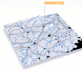 Places with similar names to Wawarsing, United States - USA :: Disclaimer :: Information on this page comes without warranty of any kind |
||
|
Where is Wawarsing? Elevation and coordinates ::
Latitude (lat): 41°45'32"N Longitude (lon): 74°21'28"W
Elevation (approx.): 89m (map arrows pan, magnifying glasses zoom) |
||
|
Visiting Wawarsing? Hotel/Accommodation ::
Book a hotel in Wawarsing Travel Guide ::
rental cars ::
car rental offers GPS waypoint ::
download a GPX waypoint (PoI) of Wawarsing for your GPS receiver
|
||