|
search place name
|
||
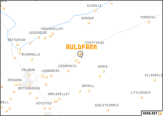
Auld Farm (North Carolina, United States - USA)Auld Farm is a town in the North Carolina region of United States - USA. An overview map of the region around Auld Farm is displayed below.
regional and 3d topo map of Auld Farm, United States - USA ::
Auld Farm airports ::
The nearest airport is HKY - Hickory Rgnl, located 25.8 km south of Auld Farm.
Other airports nearby include CLT - Charlotte Douglas Intl (94.9 km south east), INT - Winston-salem Smith Reynolds (110.4 km east), AND - Andersen Anderson Rgnl (200.9 km south west), SSC - Sumter Shaw Afb (238.4 km south), Nearby towns ::
Cedar Rock Estates (1.1km south west) //
Berkshire Hills (1.3km south west) //
Kings Creek (3.5km north east) //
Cedar Rock (3.9km south west) //
Laurel Hollow (5.3km south east) //
Draco (5.1km south east) //
Cedar Valley (7.6km south) //
Oak Hill (7.7km south) //
LeMar Park (7.0km south west) //
Grandin (8.2km north) //
Yadkin Valley (7.8km north west) //
Fort Defiance (7.7km north west) //
Heritage Hills (7.9km south west) //
Cloverhill Plantation (8.3km north west) //
Queens Acres (8.3km south west) //
Tremont Park (9.0km south west) //
[all distances 'as the bird flies' and approximate]  Places with similar names to Auld Farm, United States - USA :: Disclaimer :: Information on this page comes without warranty of any kind |
||
|
Where is Auld Farm? Elevation and coordinates ::
Latitude (lat): 35°58'16"N Longitude (lon): 81°25'51"W
Elevation (approx.): 364m (map arrows pan, magnifying glasses zoom) |
||
|
Visiting Auld Farm? Hotel/Accommodation ::
Book a hotel in Auld Farm Travel Guide ::
rental cars ::
car rental offers GPS waypoint ::
download a GPX waypoint (PoI) of Auld Farm for your GPS receiver
|
||