|
search place name
|
||
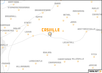
Casville (North Carolina, United States - USA)Casville is a town in the North Carolina region of United States - USA. An overview map of the region around Casville is displayed below.
regional and 3d topo map of Casville, United States - USA ::
Casville airports ::
The nearest airport is INT - Winston-salem Smith Reynolds, located 70.5 km south west of Casville.
Other airports nearby include RDU - Raleigh-durham Raleigh Durham Intl (86.0 km south east), POB - Fayetteville Pope Afb (142.3 km south), GSB - Goldsboro Seymour Johnson Afb (181.7 km south east), CLT - Charlotte Douglas Intl (184.2 km south west), Nearby towns ::
Quick (1.8km north) //
Allison (4.2km north east) //
Lawsonville (5.3km west) //
Ashland (6.8km south) //
Locust Hill (6.0km south east) //
Blackwell (6.9km north east) //
Ruffin (7.3km north west) //
Leviva (6.8km west) //
Bethel (8.5km north east) //
Oakhaven Farms (9.1km north) //
Jones (7.9km north east) //
Stacey (8.1km north west) //
[all distances 'as the bird flies' and approximate] 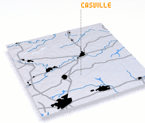 Places with similar names to Casville, United States - USA ::
// Gassville (US)
// Keysville (US)
// Caseyville (US)
// Cassville (US)
// Keysville (US)
// Caseyville (US)
// Cassville (US)
// Casa Villa (IT)
// Cazével (PT)
// Cazével (PT)
Disclaimer :: Information on this page comes without warranty of any kind |
||
|
Where is Casville? Elevation and coordinates ::
Latitude (lat): 36°23'24"N Longitude (lon): 79°30'16"W
Elevation (approx.): 211m (map arrows pan, magnifying glasses zoom) |
||
|
Visiting Casville? Hotel/Accommodation ::
Book a hotel in Casville Travel Guide ::
rental cars ::
car rental offers GPS waypoint ::
download a GPX waypoint (PoI) of Casville for your GPS receiver
|
||