|
search place name
|
||
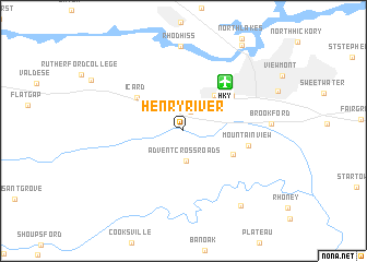
Henry River (North Carolina, United States - USA)Henry River is a town in the North Carolina region of United States - USA. An overview map of the region around Henry River is displayed below.
regional and 3d topo map of Henry River, United States - USA ::
Henry River airports ::
The nearest airport is HKY - Hickory Rgnl, located 6.1 km north east of Henry River.
Other airports nearby include CLT - Charlotte Douglas Intl (69.3 km south east), INT - Winston-salem Smith Reynolds (119.2 km north east), AND - Andersen Anderson Rgnl (177.2 km south west), CAE - Colombia Columbia Metropolitan (197.0 km south), Nearby towns ::
Hildebran (2.0km north) //
Advent Crossroads (3.0km south) //
Penelope (4.4km north east) //
Meadow Brook Village (4.8km south east) //
Icard (5.1km north west) //
Longview (5.5km north east) //
Mountain View (5.6km east) //
Rhodhiss (8.6km north) //
Propst Crossroads (9.0km south east) //
North Lakes (10.0km north east) //
[all distances 'as the bird flies' and approximate] 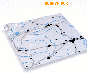 Places with similar names to Henry River, United States - USA :: Disclaimer :: Information on this page comes without warranty of any kind |
||
|
Where is Henry River? Elevation and coordinates ::
Latitude (lat): 35°41'47"N Longitude (lon): 81°25'43"W
Elevation (approx.): 322m (map arrows pan, magnifying glasses zoom) |
||
|
Visiting Henry River? Hotel/Accommodation ::
Book a hotel in Henry River Travel Guide ::
rental cars ::
car rental offers GPS waypoint ::
download a GPX waypoint (PoI) of Henry River for your GPS receiver
|
||