|
search place name
|
||
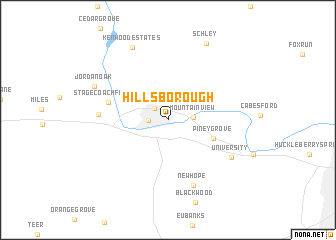
Hillsborough (North Carolina, United States - USA)Hillsborough is a town in the North Carolina region of United States - USA. An overview map of the region around Hillsborough is displayed below.
regional and 3d topo map of Hillsborough, United States - USA ::
Hillsborough airports ::
The nearest airport is RDU - Raleigh-durham Raleigh Durham Intl, located 35.7 km south east of Hillsborough.
Other airports nearby include POB - Fayetteville Pope Afb (100.6 km south), INT - Winston-salem Smith Reynolds (101.2 km west), GSB - Goldsboro Seymour Johnson Afb (131.5 km south east), CLT - Charlotte Douglas Intl (192.3 km south west), Nearby towns ::
Fairview (1.8km north west) //
West Hillsborough (1.8km west) //
Mountain View (2.3km east) //
Piney Grove (4.6km south east) //
Stagecoach Forest (5.7km west) //
Efland (6.3km west) //
New Hope (7.6km south) //
University (7.2km south east) //
Kenwood Estates (8.7km north) //
Jordan Oak (7.6km north west) //
Schley (9.3km north) //
[all distances 'as the bird flies' and approximate] 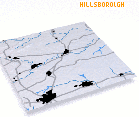 Places with similar names to Hillsborough, United States - USA ::
// Hillsborough (US)
// Hillsborough (NZ)
// Hillsborough (US)
// Hillsborough (US)
// Hillsborough (JM)
// Hillsborough (CA)
// Hillsborough (GB)
// Hillsborough (US)
// Hillsborough (AU)
// Hillsborough (GB)
Disclaimer :: Information on this page comes without warranty of any kind |
||
|
Where is Hillsborough? Elevation and coordinates ::
Latitude (lat): 36°4'31"N Longitude (lon): 79°6'0"W
Elevation (approx.): 169m (map arrows pan, magnifying glasses zoom) |
||
|
Visiting Hillsborough? Hotel/Accommodation ::
Book a hotel in Hillsborough Travel Guide ::
rental cars ::
car rental offers GPS waypoint ::
download a GPX waypoint (PoI) of Hillsborough for your GPS receiver
|
||