|
search place name
|
||
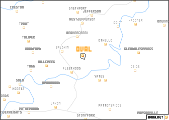
Oval (North Carolina, United States - USA)Oval is a town in the North Carolina region of United States - USA. An overview map of the region around Oval is displayed below.
regional and 3d topo map of Oval, United States - USA ::
Oval airports ::
The nearest airport is HKY - Hickory Rgnl, located 66.0 km south of Oval.
Other airports nearby include INT - Winston-salem Smith Reynolds (115.9 km east), CLT - Charlotte Douglas Intl (133.3 km south), AND - Andersen Anderson Rgnl (231.9 km south west), Nearby towns ::
Fleetwood (3.5km south west) //
Baldwin (4.4km north west) //
Beaver Creek (5.4km north) //
Yates (5.2km south east) //
Othello (5.2km north east) //
Idlewild (5.9km south east) //
West Jefferson (8.2km north) //
Mill Creek (6.9km west) //
Brownwood (8.4km south west) //
Orion (9.6km north east) //
[all distances 'as the bird flies' and approximate] 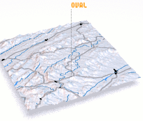 Places with similar names to Oval, United States - USA ::
Disclaimer :: Information on this page comes without warranty of any kind |
||
|
Where is Oval? Elevation and coordinates ::
Latitude (lat): 36°19'49"N Longitude (lon): 81°29'18"W
Elevation (approx.): 945m (map arrows pan, magnifying glasses zoom) |
||
|
Visiting Oval? Hotel/Accommodation ::
Book a hotel in Oval Travel Guide ::
rental cars ::
car rental offers GPS waypoint ::
download a GPX waypoint (PoI) of Oval for your GPS receiver
|
||