|
search place name
|
||
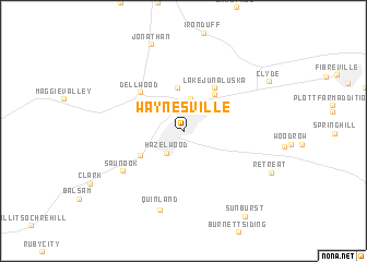
Waynesville (North Carolina, United States - USA)Waynesville is a town in the North Carolina region of United States - USA. An overview map of the region around Waynesville is displayed below.
regional and 3d topo map of Waynesville, United States - USA ::
Waynesville airports ::
The nearest airport is TYS - Knoxville Mc Ghee Tyson, located 97.8 km west of Waynesville.
Other airports nearby include AND - Andersen Anderson Rgnl (113.2 km south), HKY - Hickory Rgnl (147.6 km east), MGE - Marietta Dobbins Arb (Atlanta Nas) (223.7 km south west), CAE - Colombia Columbia Metropolitan (242.6 km south east), Nearby towns ::
Hazelwood (2.6km south west) //
Fairway Hills (3.3km north) //
Ivy Hills (4.4km north) //
Tuscola Park (4.6km north east) //
Hyatt Creek (4.4km south west) //
Lake Junaluska (5.1km north east) //
Dellwood (5.3km north west) //
Saunook (6.5km south west) //
Quinland (8.3km south) //
Jonathan (9.2km north) //
Retreat (8.4km south east) //
Clyde (8.6km north east) //
Sunburst (10.1km south east) //
[all distances 'as the bird flies' and approximate] 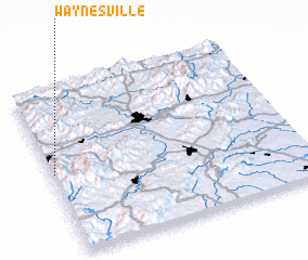 Places with similar names to Waynesville, United States - USA ::
// Waynesville (US)
// Waynesville (US)
// Waynesville (US)
// Waynesville (US)
// Waynesville (US)
// Waynesville (US)
Disclaimer :: Information on this page comes without warranty of any kind |
||
|
Where is Waynesville? Elevation and coordinates ::
Latitude (lat): 35°29'19"N Longitude (lon): 82°59'20"W
Elevation (approx.): 845m (map arrows pan, magnifying glasses zoom) |
||
|
Visiting Waynesville? Hotel/Accommodation ::
Book a hotel in Waynesville Travel Guide ::
rental cars ::
car rental offers GPS waypoint ::
download a GPX waypoint (PoI) of Waynesville for your GPS receiver
|
||