|
search place name
|
||
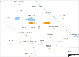
Billingstown (Ohio, United States - USA)Billingstown is a town in the Ohio region of United States - USA. An overview map of the region around Billingstown is displayed below.
regional and 3d topo map of Billingstown, United States - USA ::
Billingstown airports ::
The nearest airport is YIP - Detroit Willow Run, located 121.1 km north east of Billingstown.
Other airports nearby include LAN - Lansing Capital City (121.8 km north), DTW - Detroit Metro Wayne Co (132.8 km north east), GRR - Grand Rapids Gerald R Ford Intl (144.9 km north west), GUS - Peru Grissom Arb (162.6 km south west), Nearby towns ::
York (2.3km west) //
Clear Lake (5.9km north west) //
Cooney (5.6km south east) //
Columbia (6.7km south) //
Northwest (5.2km east) //
Eastpoint Terminal (5.7km south west) //
Page (5.4km west) //
Camden (7.3km north east) //
Nettle Lake (6.2km east) //
Courtney Corner (7.9km south west) //
Metz (9.3km south west) //
Ray (9.8km north west) //
Ray (9.8km north west) //
[all distances 'as the bird flies' and approximate] 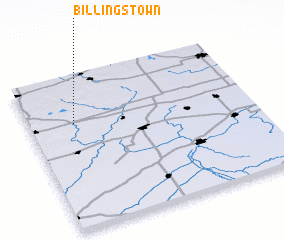 Places with similar names to Billingstown, United States - USA ::
// Blankston (US)
Disclaimer :: Information on this page comes without warranty of any kind |
||
|
Where is Billingstown? Elevation and coordinates ::
Latitude (lat): 41°41'35"N Longitude (lon): 84°47'44"W
Elevation (approx.): 310m (map arrows pan, magnifying glasses zoom) |
||
|
Visiting Billingstown? Hotel/Accommodation ::
Book a hotel in Billingstown Travel Guide ::
rental cars ::
car rental offers GPS waypoint ::
download a GPX waypoint (PoI) of Billingstown for your GPS receiver
|
||