|
search place name
|
||
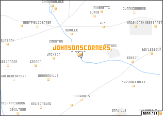
Johnsons Corners (Ohio, United States - USA)Johnsons Corners is a town in the Ohio region of United States - USA. An overview map of the region around Johnsons Corners is displayed below.
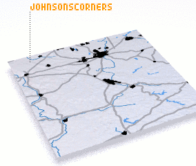
regional and 3d topo map of Johnsons Corners, United States - USA ::
Johnsons Corners airports ::
The nearest airport is AKR - Akron Fulton Intl, located 32.7 km east of Johnsons Corners.
Other airports nearby include CLE - Cleveland Hopkins Intl (50.1 km north), YNG - Youngstown Warren Rgnl (103.2 km east), CMH - Port Columbus Intl (139.1 km south west), PIT - Pittsburgh (pennsylva) Pittsburgh Intl (145.5 km east), Nearby towns ::
 Places with similar names to Johnsons Corners, United States - USA ::
// Johnsons Corners (US)
Disclaimer :: Information on this page comes without warranty of any kind |
||
|
Where is Johnsons Corners? Elevation and coordinates ::
Latitude (lat): 40°57'37"N Longitude (lon): 81°50'30"W
Elevation (approx.): 294m (map arrows pan, magnifying glasses zoom) |
||
|
Visiting Johnsons Corners? Hotel/Accommodation ::
Book a hotel in Johnsons Corners Travel Guide ::
rental cars ::
car rental offers GPS waypoint ::
download a GPX waypoint (PoI) of Johnsons Corners for your GPS receiver
|
||