|
search place name
|
||
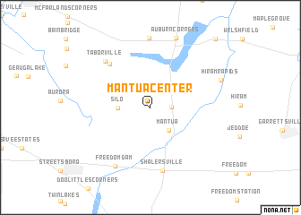
Mantua Center (Ohio, United States - USA)Mantua Center is a town in the Ohio region of United States - USA. An overview map of the region around Mantua Center is displayed below.
regional and 3d topo map of Mantua Center, United States - USA ::
Mantua Center airports ::
The nearest airport is AKR - Akron Fulton Intl, located 35.5 km south west of Mantua Center.
Other airports nearby include YNG - Youngstown Warren Rgnl (47.7 km east), CLE - Cleveland Hopkins Intl (51.9 km west), PIT - Pittsburgh (pennsylva) Pittsburgh Intl (124.6 km south east), YQG - Windsor (178.1 km north west), Nearby towns ::
Mantua Corners (2.0km east) //
Mantua (3.4km south east) //
Silo (3.0km west) //
Beartown (6.6km north west) //
Shalersville (8.0km south) //
Taborville (7.2km north west) //
Freedom Dam (8.0km south west) //
Auburn Center (8.6km north) //
Auburn Corners (8.9km north) //
Hiram Rapids (7.4km north east) //
Popes Corners (10.5km north east) //
[all distances 'as the bird flies' and approximate] 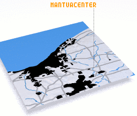 Places with similar names to Mantua Center, United States - USA :: Disclaimer :: Information on this page comes without warranty of any kind |
||
|
Where is Mantua Center? Elevation and coordinates ::
Latitude (lat): 41°18'35"N Longitude (lon): 81°14'42"W
Elevation (approx.): 355m (map arrows pan, magnifying glasses zoom) |
||
|
Visiting Mantua Center? Hotel/Accommodation ::
Book a hotel in Mantua Center Travel Guide ::
rental cars ::
car rental offers GPS waypoint ::
download a GPX waypoint (PoI) of Mantua Center for your GPS receiver
|
||