|
search place name
|
||
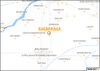
Sugar Ridge (Ohio, United States - USA)Sugar Ridge is a town in the Ohio region of United States - USA. An overview map of the region around Sugar Ridge is displayed below.
regional and 3d topo map of Sugar Ridge, United States - USA ::
Sugar Ridge airports ::
The nearest airport is DTW - Detroit Metro Wayne Co, located 89.9 km north of Sugar Ridge.
Other airports nearby include YIP - Detroit Willow Run (90.2 km north), YQG - Windsor (109.1 km north east), DET - Detroit Coleman A Young Muni (120.2 km north east), MTC - Mount Clemens Selfridge Angb (146.3 km north east), Nearby towns ::
Dunbridge (3.4km north) //
Maurers Mobile Home Court (3.3km west) //
Country Manor Estates (4.5km west) //
Dowling (6.0km north east) //
Bowling Green (6.5km south) //
Southview Estates Mobile Home Park (8.7km north) //
Five Point Mobile Home Court (9.0km north) //
Five Points (9.1km north) //
Gypsy Lane Estates Mobile Home Park (9.0km south) //
Hull Prairie (8.0km north west) //
Perrysburg Estates Mobile Home Park (8.8km north east) //
[all distances 'as the bird flies' and approximate] 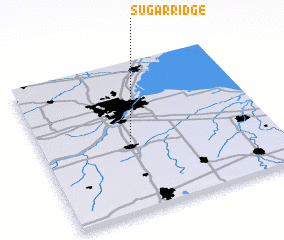 Places with similar names to Sugar Ridge, United States - USA ::
// Skyridge (US)
// Sugar Ridge (US)
// Sagrejá (PA)
// Sakurgi (EE)
// Sao Corojo (CU)
// Skuraj (AL)
// Čigrije (BA)
// Zagorje (BA)
// Zagorje (BA)
// Zagorje (BA)
Disclaimer :: Information on this page comes without warranty of any kind |
||
|
Where is Sugar Ridge? Elevation and coordinates ::
Latitude (lat): 41°25'44"N Longitude (lon): 83°37'21"W
Elevation (approx.): 202m (map arrows pan, magnifying glasses zoom) |
||
|
Visiting Sugar Ridge? Hotel/Accommodation ::
Book a hotel in Sugar Ridge Travel Guide ::
rental cars ::
car rental offers GPS waypoint ::
download a GPX waypoint (PoI) of Sugar Ridge for your GPS receiver
|
||