|
search place name
|
||
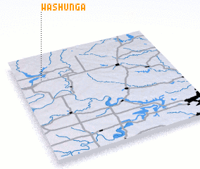
Washunga (Oklahoma, United States - USA)Washunga is a town in the Oklahoma region of United States - USA. An overview map of the region around Washunga is displayed below.
regional and 3d topo map of Washunga, United States - USA ::

Washunga airports ::
The nearest airport is IAB - Wichita Mc Connell Afb, located 100.6 km north of Washunga.
Other airports nearby include TUL - Tulsa Intl (107.0 km south east), END - Enid Vance Afb (108.4 km south west), ICT - Wichita Mid Continent (109.7 km north west), TIK - Oklahoma City Tinker Afb (159.7 km south), Nearby towns ::
 Places with similar names to Washunga, United States - USA ::
// Woching (DE)
// Hwach'ang (KP)
// Weiching (DE)
// Wai-ch'eng (TW)
// Wai-chung (TW)
// Wai-shuang (TW)
// Wu-ch'eng (TW)
// Wu-ch'eng (TW)
// Wei-chuang (TW)
// Wachaung (MM)
Disclaimer :: Information on this page comes without warranty of any kind |
||
|
Where is Washunga? Elevation and coordinates ::
Latitude (lat): 36°47'1"N Longitude (lon): 96°50'16"W
Elevation (approx.): 313m (map arrows pan, magnifying glasses zoom) |
||
|
Visiting Washunga? Hotel/Accommodation ::
Book a hotel in Washunga Travel Guide ::
rental cars ::
car rental offers GPS waypoint ::
download a GPX waypoint (PoI) of Washunga for your GPS receiver
|
||