|
search place name
|
||
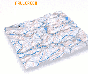
Fall Creek (Oregon, United States - USA)Fall Creek is a town in the Oregon region of United States - USA. An overview map of the region around Fall Creek is displayed below.
regional and 3d topo map of Fall Creek, United States - USA ::

Fall Creek airports ::
The nearest airport is MMV - Mackminnville Mc Minnville Muni, located 139.5 km north of Fall Creek.
Other airports nearby include PDX - Portland Intl (181.9 km north), Nearby towns ::
 Places with similar names to Fall Creek, United States - USA ::
// Val'karkay (RU)
// Valkarkoy (RU)
// Val'korkey (RU)
// Valley Creek (US)
// Fall Creek (US)
// Vilkrāgģi (LV)
// Fly Creek (US)
// Falkirk (US)
// Fall Creek (US)
// Fall Creek (US)
Disclaimer :: Information on this page comes without warranty of any kind |
||
|
Where is Fall Creek? Elevation and coordinates ::
Latitude (lat): 43°57'35"N Longitude (lon): 122°49'9"W
Elevation (approx.): 190m (map arrows pan, magnifying glasses zoom) |
||
|
Visiting Fall Creek? Hotel/Accommodation ::
Book a hotel in Fall Creek Travel Guide ::
rental cars ::
car rental offers GPS waypoint ::
download a GPX waypoint (PoI) of Fall Creek for your GPS receiver
|
||