|
search place name
|
||
Fir Grove (Oregon, United States - USA)Fir Grove is a town in the Oregon region of United States - USA. An overview map of the region around Fir Grove is displayed below.
regional and 3d topo map of Fir Grove, United States - USA ::

Fir Grove airports ::
The nearest airport is MMV - Mackminnville Mc Minnville Muni, located 119.5 km north of Fir Grove.
Other airports nearby include PDX - Portland Intl (168.8 km north), Nearby towns ::
Santa Clara (1.8km south) //
Irving (2.2km west) //
River Road (3.9km south) //
Bethel (6.0km south) //
Danebo (7.4km south west) //
Coburg (6.1km east) //
Eugene (8.5km south east) //
[all distances 'as the bird flies' and approximate] 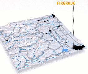 Places with similar names to Fir Grove, United States - USA ::
// Fir Grove (US)
// Fairgrove (US)
// Fair Grove (US)
// Fair Grove (US)
// Fairgrove (US)
// Fairgrove (US)
Disclaimer :: Information on this page comes without warranty of any kind |
||
|
Where is Fir Grove? Elevation and coordinates ::
Latitude (lat): 44°7'9"N Longitude (lon): 123°8'13"W
Elevation (approx.): 116m (map arrows pan, magnifying glasses zoom) |
||
|
Visiting Fir Grove? Hotel/Accommodation ::
Book a hotel in Fir Grove Travel Guide ::
rental cars ::
car rental offers GPS waypoint ::
download a GPX waypoint (PoI) of Fir Grove for your GPS receiver
|
||