|
search place name
|
||
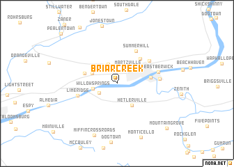
Briar Creek (Pennsylvania, United States - USA)Briar Creek is a town in the Pennsylvania region of United States - USA. An overview map of the region around Briar Creek is displayed below.
regional and 3d topo map of Briar Creek, United States - USA ::
Briar Creek airports ::
The nearest airport is IPT - Williamsport Rgnl, located 57.9 km west of Briar Creek.
Other airports nearby include MUI - Muir Aaf (72.1 km south), MDT - Harrisburg Intl (103.0 km south west), NXX - Willow Grove Nas Jrb (134.3 km south east), TTN - Trenton Mercer (150.8 km south east), Nearby towns ::
Martzville (2.8km north east) //
Mifflinville (2.6km south west) //
Evansville (3.2km north) //
Willow Springs (3.0km west) //
Hetlerville (3.9km south east) //
Dennis Mills (3.4km north west) //
Fowlersville (4.2km west) //
Berwick Heights (4.9km north east) //
Berwick (4.2km east) //
Summer Hill (5.7km north east) //
Foundryville (5.3km north east) //
Lime Ridge (5.2km south west) //
Nescopeck (5.2km east) //
East Berwick (5.3km east) //
Miffin Cross Roads (8.8km south) //
Monticello (9.1km south) //
Mountain Grove (9.3km south east) //
[all distances 'as the bird flies' and approximate] 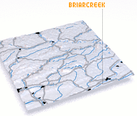 Places with similar names to Briar Creek, United States - USA ::
// Briar Creek (US)
Disclaimer :: Information on this page comes without warranty of any kind |
||
|
Where is Briar Creek? Elevation and coordinates ::
Latitude (lat): 41°2'45"N Longitude (lon): 76°16'57"W
Elevation (approx.): 149m (map arrows pan, magnifying glasses zoom) |
||
|
Visiting Briar Creek? Hotel/Accommodation ::
Book a hotel in Briar Creek Travel Guide ::
rental cars ::
car rental offers GPS waypoint ::
download a GPX waypoint (PoI) of Briar Creek for your GPS receiver
|
||