|
search place name
|
||
Gump (Pennsylvania, United States - USA)Gump is a town in the Pennsylvania region of United States - USA. An overview map of the region around Gump is displayed below.
regional and 3d topo map of Gump, United States - USA ::

Gump airports ::
The nearest airport is PIT - Pittsburgh (pennsylva) Pittsburgh Intl, located 76.2 km north of Gump.
Other airports nearby include EKN - Elkins Randolph Co Jennings Randolph (105.8 km south), YNG - Youngstown Warren Rgnl (166.7 km north), AOO - Altoona Blair Co (169.1 km east), AKR - Akron Fulton Intl (174.2 km north west), Nearby towns ::
Brant Hill (1.2km north west) //
Spraggs (3.3km south west) //
Oak Forest (5.5km north west) //
Rush Crossroads (5.4km west) //
Brock (7.3km south) //
Kirby (6.7km east) //
Kuhntown (7.5km south west) //
Rogersville (10.7km north west) //
[all distances 'as the bird flies' and approximate] 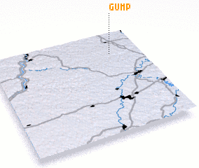 Places with similar names to Gump, United States - USA ::
Disclaimer :: Information on this page comes without warranty of any kind |
||
|
Where is Gump? Elevation and coordinates ::
Latitude (lat): 39°48'20"N Longitude (lon): 80°11'44"W
Elevation (approx.): 410m (map arrows pan, magnifying glasses zoom) |
||
|
Visiting Gump? Hotel/Accommodation ::
Book a hotel in Gump Travel Guide ::
rental cars ::
car rental offers GPS waypoint ::
download a GPX waypoint (PoI) of Gump for your GPS receiver
|
||