|
search place name
|
||
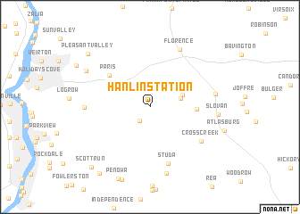
Hanlin Station (Pennsylvania, United States - USA)Hanlin Station is a town in the Pennsylvania region of United States - USA. An overview map of the region around Hanlin Station is displayed below.
regional and 3d topo map of Hanlin Station, United States - USA ::
Hanlin Station airports ::
The nearest airport is PIT - Pittsburgh (pennsylva) Pittsburgh Intl, located 24.2 km north east of Hanlin Station.
Other airports nearby include YNG - Youngstown Warren Rgnl (100.8 km north), AKR - Akron Fulton Intl (112.6 km north west), CLE - Cleveland Hopkins Intl (164.4 km north west), EKN - Elkins Randolph Co Jennings Randolph (172.3 km south), Nearby towns ::
Eldersville (2.0km south west) //
Bertha (3.1km east) //
Dinsmore (3.4km north east) //
Langeloth (4.5km east) //
Paris (5.6km north west) //
Studa (7.3km south) //
Cross Creek (6.5km south east) //
Florence (7.7km north) //
Colliers (6.3km west) //
Burgettstown (6.5km east) //
Pattersons Mill (8.5km south) //
Slovan (6.6km east) //
Weirton Heights (7.6km north west) //
Pleasant Valley (8.9km north west) //
Virginville (9.6km south west) //
Scott Run (9.4km south west) //
[all distances 'as the bird flies' and approximate] 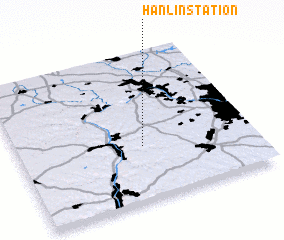 Places with similar names to Hanlin Station, United States - USA :: Disclaimer :: Information on this page comes without warranty of any kind |
||
|
Where is Hanlin Station? Elevation and coordinates ::
Latitude (lat): 40°22'3"N Longitude (lon): 80°28'2"W
Elevation (approx.): 287m (map arrows pan, magnifying glasses zoom) |
||
|
Visiting Hanlin Station? Hotel/Accommodation ::
Book a hotel in Hanlin Station Travel Guide ::
rental cars ::
car rental offers GPS waypoint ::
download a GPX waypoint (PoI) of Hanlin Station for your GPS receiver
|
||