|
search place name
|
||
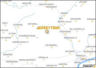
Jerseytown (Pennsylvania, United States - USA)Jerseytown is a town in the Pennsylvania region of United States - USA. An overview map of the region around Jerseytown is displayed below.
regional and 3d topo map of Jerseytown, United States - USA ::
Jerseytown airports ::
The nearest airport is IPT - Williamsport Rgnl, located 33.4 km north west of Jerseytown.
Other airports nearby include MUI - Muir Aaf (72.6 km south), MDT - Harrisburg Intl (100.6 km south), NXX - Willow Grove Nas Jrb (156.1 km south east), AOO - Altoona Blair Co (171.5 km south west), Nearby towns ::
Derry (3.5km south west) //
Columbia Hill (5.4km south) //
Millville (5.4km north east) //
White Hall (5.4km north west) //
Eyers Grove (5.1km east) //
Iola (6.6km north east) //
East Millville (6.3km north east) //
Strawberry Ridge (6.4km west) //
Mordansville (7.1km east) //
Sereno (8.7km north east) //
Buckhorn (10.1km south east) //
[all distances 'as the bird flies' and approximate] 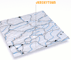 Places with similar names to Jerseytown, United States - USA ::
Disclaimer :: Information on this page comes without warranty of any kind |
||
|
Where is Jerseytown? Elevation and coordinates ::
Latitude (lat): 41°5'19"N Longitude (lon): 76°34'43"W
Elevation (approx.): 190m (map arrows pan, magnifying glasses zoom) |
||
|
Visiting Jerseytown? Hotel/Accommodation ::
Book a hotel in Jerseytown Travel Guide ::
rental cars ::
car rental offers GPS waypoint ::
download a GPX waypoint (PoI) of Jerseytown for your GPS receiver
|
||