|
search place name
|
||
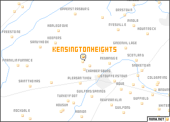
Kensington Heights (Pennsylvania, United States - USA)Kensington Heights is a town in the Pennsylvania region of United States - USA. An overview map of the region around Kensington Heights is displayed below.
regional and 3d topo map of Kensington Heights, United States - USA ::
Kensington Heights airports ::
The nearest airport is AOO - Altoona Blair Co, located 65.0 km north west of Kensington Heights.
Other airports nearby include MDT - Harrisburg Intl (82.9 km east), MUI - Muir Aaf (108.5 km north east), IAD - Washington Dulles Intl (115.3 km south), BWI - Baltimore Washington Intl (124.2 km south east), Nearby towns ::
Cheesetown (0.4km west) //
Hamilton Heights (1.3km south east) //
West Hamilton Heights (1.9km south) //
Salem (3.5km north east) //
Chambersburg (4.1km south east) //
Pleasant View (5.0km south) //
Red Bridge (4.2km east) //
Keefers (6.3km north west) //
Stoufferstown (6.7km south east) //
Guilford Springs (7.9km south) //
Carlton Heights (7.4km south west) //
Maple Grove (8.0km north west) //
Turkeyfoot (9.2km south) //
Nyesville (8.9km north east) //
Aqua (8.7km south east) //
[all distances 'as the bird flies' and approximate] 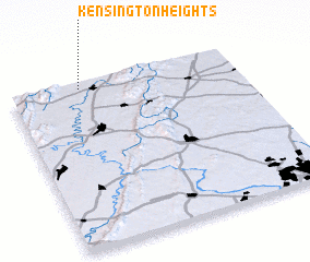 Places with similar names to Kensington Heights, United States - USA ::
// Kensington Heights (US)
Disclaimer :: Information on this page comes without warranty of any kind |
||
|
Where is Kensington Heights? Elevation and coordinates ::
Latitude (lat): 39°58'3"N Longitude (lon): 77°41'21"W
Elevation (approx.): 222m (map arrows pan, magnifying glasses zoom) |
||
|
Visiting Kensington Heights? Hotel/Accommodation ::
Book a hotel in Kensington Heights Travel Guide ::
rental cars ::
car rental offers GPS waypoint ::
download a GPX waypoint (PoI) of Kensington Heights for your GPS receiver
|
||