|
search place name
|
||
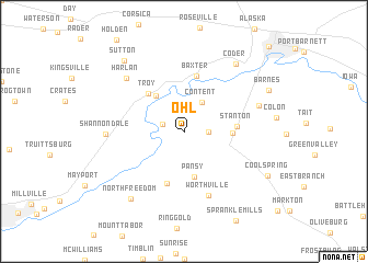
Ohl (Pennsylvania, United States - USA)Ohl is a town in the Pennsylvania region of United States - USA. An overview map of the region around Ohl is displayed below.
regional and 3d topo map of Ohl, United States - USA ::
Ohl airports ::
The nearest airport is PIT - Pittsburgh (pennsylva) Pittsburgh Intl, located 111.8 km south west of Ohl.
Other airports nearby include AOO - Altoona Blair Co (112.7 km south east), YNG - Youngstown Warren Rgnl (128.9 km west), BUF - Buffalo Niagara Intl (209.3 km north), YXU - London (272.4 km north west), Nearby towns ::
Heathville (1.8km north west) //
Conifer (1.9km east) //
Content (3.3km north east) //
Summerville (4.2km north west) //
Pansy (4.7km south) //
McGarey (3.7km east) //
Troy (4.7km north west) //
Stanton (4.1km east) //
Langville (5.5km south) //
Baxter (5.8km north) //
Worthville (6.8km south) //
Shannondale (6.0km west) //
Harlan (7.0km north west) //
Norman (6.3km north east) //
Coder (7.9km north east) //
North Freedom (8.0km south west) //
Sutton (8.5km north west) //
Barnes (7.8km north east) //
Coolspring (7.9km south east) //
Brookville (10.8km north east) //
[all distances 'as the bird flies' and approximate] 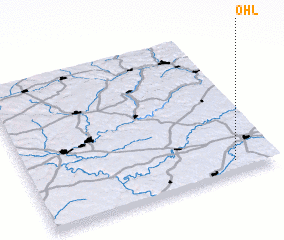 Places with similar names to Ohl, United States - USA ::
Disclaimer :: Information on this page comes without warranty of any kind |
||
|
Where is Ohl? Elevation and coordinates ::
Latitude (lat): 41°5'0"N Longitude (lon): 79°9'40"W
Elevation (approx.): 443m (map arrows pan, magnifying glasses zoom) |
||
|
Visiting Ohl? Hotel/Accommodation ::
Book a hotel in Ohl Travel Guide ::
rental cars ::
car rental offers GPS waypoint ::
download a GPX waypoint (PoI) of Ohl for your GPS receiver
|
||