|
search place name
|
||
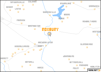
Roxbury (Pennsylvania, United States - USA)Roxbury is a town in the Pennsylvania region of United States - USA. An overview map of the region around Roxbury is displayed below.
regional and 3d topo map of Roxbury, United States - USA ::
Roxbury airports ::
The nearest airport is AOO - Altoona Blair Co, located 63.2 km north east of Roxbury.
Other airports nearby include PIT - Pittsburgh (pennsylva) Pittsburgh Intl (128.1 km north west), EKN - Elkins Randolph Co Jennings Randolph (143.2 km south west), IAD - Washington Dulles Intl (167.2 km south east), DCA - Ronald Reagan Washington Natl (201.7 km south east), Nearby towns ::
Downey (3.1km north east) //
Macdonaldton (3.7km south) //
Shaft (5.5km south west) //
Brotherton (5.2km north west) //
Salco (6.0km south west) //
Berlin (5.4km south west) //
Glade (6.3km north east) //
Shanksville (7.8km north) //
Niver Junction (7.0km south west) //
Boone (8.4km north east) //
Goodtown (8.7km south west) //
Johnsburg (10.1km south east) //
[all distances 'as the bird flies' and approximate] 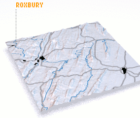 Places with similar names to Roxbury, United States - USA ::
Disclaimer :: Information on this page comes without warranty of any kind |
||
|
Where is Roxbury? Elevation and coordinates ::
Latitude (lat): 39°56'51"N Longitude (lon): 78°54'19"W
Elevation (approx.): 691m (map arrows pan, magnifying glasses zoom) |
||
|
Visiting Roxbury? Hotel/Accommodation ::
Book a hotel in Roxbury Travel Guide ::
rental cars ::
car rental offers GPS waypoint ::
download a GPX waypoint (PoI) of Roxbury for your GPS receiver
|
||