|
search place name
|
||
Clarendon (South Carolina, United States - USA)Clarendon is a town in the South Carolina region of United States - USA. An overview map of the region around Clarendon is displayed below.
regional and 3d topo map of Clarendon, United States - USA ::

Clarendon airports ::
The nearest airport is AND - Andersen Anderson Rgnl, located 9.7 km south west of Clarendon.
Other airports nearby include AGS - Bush Field Augusta Rgnl At Bush Fld (144.5 km south east), CAE - Colombia Columbia Metropolitan (154.6 km south east), CLT - Charlotte Douglas Intl (170.8 km north east), HKY - Hickory Rgnl (173.8 km north east), Nearby towns ::
Englewood (0.8km north) //
Autumn Oaks (0.8km south) //
Cardinal Park (1.1km south west) //
McGee Acres (1.4km north west) //
Cedar Acres (1.5km south) //
Marilyn Acres (1.5km east) //
Heather Heights (1.8km south) //
Concord (1.8km west) //
Kingswood Terrace (2.0km west) //
Country Acres (2.5km north east) //
Dobbins Estates (2.8km south) //
Long Meadows (2.7km south east) //
Hammond (2.6km east) //
Country Estates (3.0km south east) //
Country Place (3.0km north east) //
Keystone Acres (3.3km south east) //
Fox Valley (3.1km south east) //
Brook Hollow (3.0km north west) //
Cobbs Glen (3.1km east) //
Devonshire (3.6km north east) //
Sweet Gum Trail (3.2km north west) //
Briarcliff (3.6km south) //
Oakwood Estates (3.5km west) //
Quail Hollow (4.0km north west) //
Kings Court (3.6km west) //
Ashley Downs (3.9km north west) //
Highland Acres (4.3km south) //
White Oaks (4.3km north) //
Beaver Creek (4.5km north) //
[all distances 'as the bird flies' and approximate] 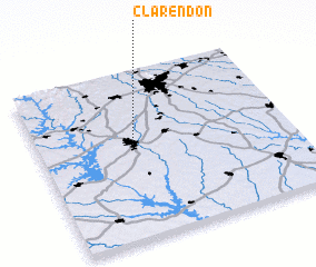 Places with similar names to Clarendon, United States - USA ::
Disclaimer :: Information on this page comes without warranty of any kind |
||
|
Where is Clarendon? Elevation and coordinates ::
Latitude (lat): 34°32'59"N Longitude (lon): 82°37'41"W
Elevation (approx.): 247m (map arrows pan, magnifying glasses zoom) |
||
|
Visiting Clarendon? Hotel/Accommodation ::
Book a hotel in Clarendon Travel Guide ::
rental cars ::
car rental offers GPS waypoint ::
download a GPX waypoint (PoI) of Clarendon for your GPS receiver
|
||