|
search place name
|
||
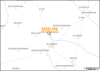
Seigling (South Carolina, United States - USA)Seigling is a town in the South Carolina region of United States - USA. An overview map of the region around Seigling is displayed below.
regional and 3d topo map of Seigling, United States - USA ::
Seigling airports ::
The nearest airport is AGS - Bush Field Augusta Rgnl At Bush Fld, located 70.5 km north west of Seigling.
Other airports nearby include NBC - Beaufort Mcas (83.8 km south east), CAE - Colombia Columbia Metropolitan (100.9 km north), SAV - Savannah Hilton Head Intl (102.2 km south), SVN - Hunter Aaf (115.8 km south), Nearby towns ::
Grays Crossroads (0.4km north) //
Allendale (4.1km south) //
Hayes Crossroads (4.7km north east) //
Appleton (4.5km west) //
Moores Crossroads (7.3km south) //
Woods Crossroads (7.2km south west) //
[all distances 'as the bird flies' and approximate] 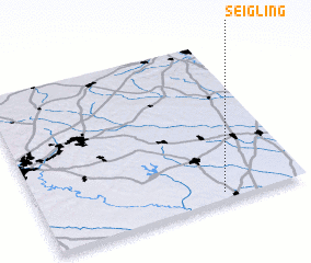 Places with similar names to Seigling, United States - USA ::
// Schölling (AT)
// Schilling (US)
// Schelleneck (DE)
// Schellneck (DE)
// Schlankau (DE)
// Schöllang (DE)
// Schölling (DE)
// Sickling (DE)
// Sickling (DE)
// Skouliánika (GR)
Disclaimer :: Information on this page comes without warranty of any kind |
||
|
Where is Seigling? Elevation and coordinates ::
Latitude (lat): 33°2'39"N Longitude (lon): 81°18'55"W
Elevation (approx.): 66m (map arrows pan, magnifying glasses zoom) |
||
|
Visiting Seigling? Hotel/Accommodation ::
Book a hotel in Seigling Travel Guide ::
rental cars ::
car rental offers GPS waypoint ::
download a GPX waypoint (PoI) of Seigling for your GPS receiver
|
||