|
search place name
|
||
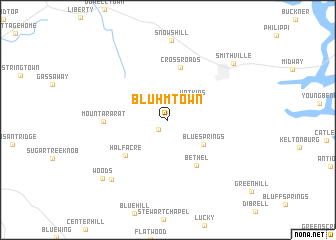
Bluhmtown (Tennessee, United States - USA)Bluhmtown is a town in the Tennessee region of United States - USA. An overview map of the region around Bluhmtown is displayed below.
regional and 3d topo map of Bluhmtown, United States - USA ::
Bluhmtown airports ::
The nearest airport is BNA - Nashville Intl, located 76.0 km west of Bluhmtown.
Other airports nearby include CHA - Chattanooga Lovell Fld (114.2 km south east), HUA - Redstone Aaf (154.4 km south west), HOP - Hopkinsville Campbell Aaf (168.2 km north west), TYS - Knoxville Mc Ghee Tyson (170.6 km east), Nearby towns ::
Pisgah (1.4km south west) //
Watkins (3.1km north east) //
Blue Springs (4.2km south east) //
Bethel (5.7km south east) //
Cross Roads (6.0km north) //
Half Acre (5.5km south west) //
Mount Ararat (5.8km west) //
Cross Roads (8.3km south west) //
Smithville (8.6km north east) //
Woods (8.8km south west) //
[all distances 'as the bird flies' and approximate] 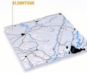 Places with similar names to Bluhmtown, United States - USA ::
// Balla Mudana (ET)
// Blomtuin (ZA)
// Bellamytown (US)
// Bolumetane (MZ)
// Bulemetane (MZ)
// Buulo Madina (SO)
Disclaimer :: Information on this page comes without warranty of any kind |
||
|
Where is Bluhmtown? Elevation and coordinates ::
Latitude (lat): 35°54'14"N Longitude (lon): 85°52'47"W
Elevation (approx.): 335m (map arrows pan, magnifying glasses zoom) |
||
|
Visiting Bluhmtown? Hotel/Accommodation ::
Book a hotel in Bluhmtown Travel Guide ::
rental cars ::
car rental offers GPS waypoint ::
download a GPX waypoint (PoI) of Bluhmtown for your GPS receiver
|
||