|
search place name
|
||
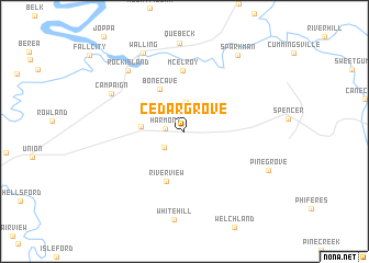
Cedar Grove (Tennessee, United States - USA)Cedar Grove is a town in the Tennessee region of United States - USA. An overview map of the region around Cedar Grove is displayed below.
regional and 3d topo map of Cedar Grove, United States - USA ::
Cedar Grove airports ::
The nearest airport is CHA - Chattanooga Lovell Fld, located 84.3 km south east of Cedar Grove.
Other airports nearby include BNA - Nashville Intl (109.6 km north west), TYS - Knoxville Mc Ghee Tyson (142.0 km east), HUA - Redstone Aaf (155.6 km south west), HOP - Hopkinsville Campbell Aaf (202.4 km north west), Nearby towns ::
Harmony (1.6km west) //
Laurelburg (2.3km south west) //
Laurel Creek (3.0km north) //
Goodbars (3.6km west) //
Bone Cave (4.8km north west) //
Riverview (5.3km south) //
McElroy (6.2km north) //
Campaign (7.1km north west) //
Rock Island (7.8km north west) //
Walling (8.7km north west) //
Pine Grove (8.0km south east) //
Sparkman (8.9km north east) //
[all distances 'as the bird flies' and approximate] 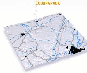 Places with similar names to Cedar Grove, United States - USA ::
// Cedar Grove (US)
// Cedar Grove (US)
// Cedar Grove (US)
// Cedar Grove (US)
// Cedar Grove (US)
// Cedar Grove (US)
// Cedar Grove (US)
// Cedar Grove (US)
// Cedar Grove (US)
// Cedar Grove (US)
Disclaimer :: Information on this page comes without warranty of any kind |
||
|
Where is Cedar Grove? Elevation and coordinates ::
Latitude (lat): 35°44'10"N Longitude (lon): 85°33'43"W
Elevation (approx.): 290m (map arrows pan, magnifying glasses zoom) |
||
|
Visiting Cedar Grove? Hotel/Accommodation ::
Book a hotel in Cedar Grove Travel Guide ::
rental cars ::
car rental offers GPS waypoint ::
download a GPX waypoint (PoI) of Cedar Grove for your GPS receiver
|
||