|
search place name
|
||
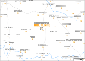
Holtland (Tennessee, United States - USA)Holtland is a town in the Tennessee region of United States - USA. An overview map of the region around Holtland is displayed below.
regional and 3d topo map of Holtland, United States - USA ::
Holtland airports ::
The nearest airport is BNA - Nashville Intl, located 48.0 km north of Holtland.
Other airports nearby include HUA - Redstone Aaf (112.5 km south), HOP - Hopkinsville Campbell Aaf (130.1 km north west), CHA - Chattanooga Lovell Fld (153.9 km south east), Nearby towns ::
Holts Corner (0.1km east) //
Riggs Crossroads (2.4km north) //
Beasley (4.1km east) //
Greenwood (4.7km east) //
Thick (5.1km south west) //
Allisona (7.0km north) //
Watson (6.9km north) //
Chapel Hill (7.3km south) //
Bear Wallow (6.0km west) //
Eagleville (6.8km north east) //
Cedar Grove (8.2km south east) //
[all distances 'as the bird flies' and approximate] 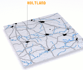
Disclaimer :: Information on this page comes without warranty of any kind |
||
|
Where is Holtland? Elevation and coordinates ::
Latitude (lat): 35°41'32"N Longitude (lon): 86°41'41"W
Elevation (approx.): 242m (map arrows pan, magnifying glasses zoom) |
||
|
Visiting Holtland? Hotel/Accommodation ::
Book a hotel in Holtland Travel Guide ::
rental cars ::
car rental offers GPS waypoint ::
download a GPX waypoint (PoI) of Holtland for your GPS receiver
|
||