|
search place name
|
||
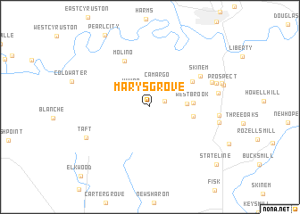
Marys Grove (Tennessee, United States - USA)Marys Grove is a town in the Tennessee region of United States - USA. An overview map of the region around Marys Grove is displayed below.
regional and 3d topo map of Marys Grove, United States - USA ::
Marys Grove airports ::
The nearest airport is HUA - Redstone Aaf, located 42.0 km south of Marys Grove.
Other airports nearby include BNA - Nashville Intl (118.6 km north), CHA - Chattanooga Lovell Fld (131.6 km east), BHM - Birmingham Intl (165.9 km south), ANB - Anniston Metro (178.2 km south east), Nearby towns ::
Kirkland (1.7km north east) //
Yukon (2.8km north west) //
Camargo (3.1km north) //
Pleasant Grove (3.8km east) //
Westbrook (4.5km east) //
Belleview (4.6km east) //
Highland Rim (5.4km north east) //
Molino (6.3km north west) //
Skinem (6.5km north east) //
Park City Heights (7.1km north east) //
Plada Heights (7.2km east) //
Greenwood Estates (7.1km east) //
Park City (7.4km north east) //
Hilldale Estates (7.4km east) //
Taft (7.6km south west) //
State Line (9.9km south east) //
Elkwood (11.2km south west) //
[all distances 'as the bird flies' and approximate] 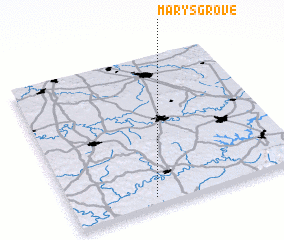 Places with similar names to Marys Grove, United States - USA ::
Disclaimer :: Information on this page comes without warranty of any kind |
||
|
Where is Marys Grove? Elevation and coordinates ::
Latitude (lat): 35°3'20"N Longitude (lon): 86°38'45"W
Elevation (approx.): 292m (map arrows pan, magnifying glasses zoom) |
||
|
Visiting Marys Grove? Hotel/Accommodation ::
Book a hotel in Marys Grove Travel Guide ::
rental cars ::
car rental offers GPS waypoint ::
download a GPX waypoint (PoI) of Marys Grove for your GPS receiver
|
||