|
search place name
|
||
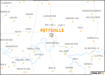
Pottsville (Tennessee, United States - USA)Pottsville is a town in the Tennessee region of United States - USA. An overview map of the region around Pottsville is displayed below.
regional and 3d topo map of Pottsville, United States - USA ::
Pottsville airports ::
The nearest airport is BNA - Nashville Intl, located 55.6 km north of Pottsville.
Other airports nearby include HUA - Redstone Aaf (107.2 km south), HOP - Hopkinsville Campbell Aaf (129.3 km north west), CHA - Chattanooga Lovell Fld (161.9 km south east), CBM - Colombus Columbus Afb (266.4 km south west), Nearby towns ::
Hardison Mill (3.1km south) //
Rally Hill (3.5km north) //
Lively (4.3km north east) //
Venable Spring (5.1km south east) //
Lees Corner (6.6km north) //
Lillard Mill (6.8km south east) //
Milltown (6.9km south east) //
Caney Spring (6.6km south east) //
Sowell Ford (7.4km south west) //
Leftwich (8.1km south west) //
Lasea (7.2km west) //
Bear Wallow (8.2km north east) //
Kedron (9.7km north west) //
Anes (11.1km south east) //
[all distances 'as the bird flies' and approximate] 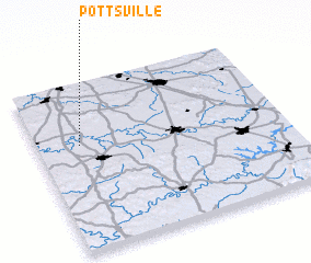 Places with similar names to Pottsville, United States - USA ::
// Pettusville (US)
// Pattsville (US)
// Pottsville (US)
// Pottsville (US)
// Pettysville (US)
// Piattsville (US)
// Patesville (US)
// Pottsville (US)
// Pottsville (US)
// Pittsville (US)
Disclaimer :: Information on this page comes without warranty of any kind |
||
|
Where is Pottsville? Elevation and coordinates ::
Latitude (lat): 35°38'16"N Longitude (lon): 86°49'31"W
Elevation (approx.): 200m (map arrows pan, magnifying glasses zoom) |
||
|
Visiting Pottsville? Hotel/Accommodation ::
Book a hotel in Pottsville Travel Guide ::
rental cars ::
car rental offers GPS waypoint ::
download a GPX waypoint (PoI) of Pottsville for your GPS receiver
|
||