|
search place name
|
||
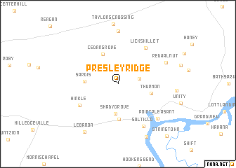
Presley Ridge (Tennessee, United States - USA)Presley Ridge is a town in the Tennessee region of United States - USA. An overview map of the region around Presley Ridge is displayed below.
regional and 3d topo map of Presley Ridge, United States - USA ::
Presley Ridge airports ::
The nearest airport is MKL - Jackson Mc Kellar Sipes Rgnl, located 63.3 km west of Presley Ridge.
Other airports nearby include NQA - Millington Rgnl Jetport (147.9 km west), HOP - Hopkinsville Campbell Aaf (152.2 km north east), BNA - Nashville Intl (160.9 km north east), MEM - Memphis Intl (163.6 km west), Nearby towns ::
Liberty (2.9km east) //
Shady Grove (4.7km south) //
Sardis (4.3km west) //
Cedar Grove (5.2km north west) //
Thurman (4.5km east) //
Five Forks (5.7km south) //
Hinkle (6.0km south west) //
Lick Skillet (6.8km north east) //
Saltillo (7.6km south east) //
Red Walnut (7.1km north east) //
Point Pleasant (7.5km south east) //
Scotts Hill (8.5km north) //
Lebanon (8.8km south west) //
Farmers Union Landing (9.2km south east) //
Stringtown (10.5km south east) //
[all distances 'as the bird flies' and approximate] 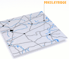 Places with similar names to Presley Ridge, United States - USA :: Disclaimer :: Information on this page comes without warranty of any kind |
||
|
Where is Presley Ridge? Elevation and coordinates ::
Latitude (lat): 35°26'20"N Longitude (lon): 88°14'45"W
Elevation (approx.): 129m (map arrows pan, magnifying glasses zoom) |
||
|
Visiting Presley Ridge? Hotel/Accommodation ::
Book a hotel in Presley Ridge Travel Guide ::
rental cars ::
car rental offers GPS waypoint ::
download a GPX waypoint (PoI) of Presley Ridge for your GPS receiver
|
||