|
search place name
|
||
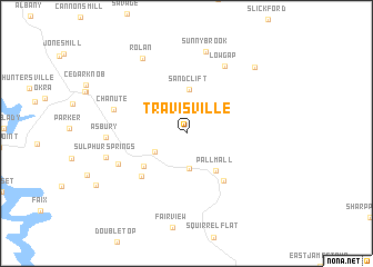
Travisville (Tennessee, United States - USA)Travisville is a town in the Tennessee region of United States - USA. An overview map of the region around Travisville is displayed below.
regional and 3d topo map of Travisville, United States - USA ::
Travisville airports ::
The nearest airport is TYS - Knoxville Mc Ghee Tyson, located 124.3 km south east of Travisville.
Other airports nearby include BNA - Nashville Intl (159.6 km west), FTK - Fort Knox Godman Aaf (170.5 km north west), CHA - Chattanooga Lovell Fld (172.9 km south), LOU - Louisville Bowman Fld (191.8 km north), Nearby towns ::
Forbus (3.5km south) //
Davidson (3.1km south west) //
Sandclift (4.4km north) //
Pall Mall (4.4km south east) //
Gilreath Mill (4.8km south west) //
Wolf River (5.6km south east) //
Red Hill (5.6km south west) //
Cedar Grove (6.3km south west) //
Chanute (6.3km west) //
Low Gap (7.4km north east) //
Asbury (6.5km west) //
Sunnybrook (8.3km north) //
Sulphur Springs (6.9km west) //
Rolan (8.3km north west) //
Jimtown (8.6km north east) //
[all distances 'as the bird flies' and approximate] 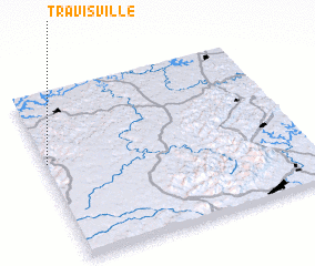 Places with similar names to Travisville, United States - USA ::
// Travisville (US)
Disclaimer :: Information on this page comes without warranty of any kind |
||
|
Where is Travisville? Elevation and coordinates ::
Latitude (lat): 36°35'4"N Longitude (lon): 84°59'38"W
Elevation (approx.): 284m (map arrows pan, magnifying glasses zoom) |
||
|
Visiting Travisville? Hotel/Accommodation ::
Book a hotel in Travisville Travel Guide ::
rental cars ::
car rental offers GPS waypoint ::
download a GPX waypoint (PoI) of Travisville for your GPS receiver
|
||