|
search place name
|
||
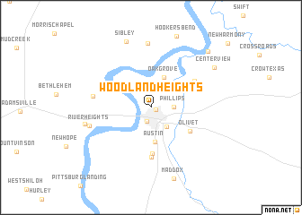
Woodland Heights (Tennessee, United States - USA)Woodland Heights is a town in the Tennessee region of United States - USA. An overview map of the region around Woodland Heights is displayed below.
regional and 3d topo map of Woodland Heights, United States - USA ::
Woodland Heights airports ::
The nearest airport is MKL - Jackson Mc Kellar Sipes Rgnl, located 72.9 km north west of Woodland Heights.
Other airports nearby include NQA - Millington Rgnl Jetport (148.5 km west), HUA - Redstone Aaf (155.5 km south east), MEM - Memphis Intl (159.4 km west), HOP - Hopkinsville Campbell Aaf (172.2 km north east), Nearby towns ::
New Town (0.6km south east) //
Savannah (1.8km south) //
Phillips (2.3km east) //
Belle Meade (2.9km south east) //
Oak Grove (4.0km north) //
Austin (4.3km south) //
Olivet (5.0km south east) //
West Hima (5.8km south) //
Walkertown (6.1km south) //
Bucktown (5.5km north east) //
Box Elder (6.1km west) //
Holtsville (8.0km north) //
River Heights (6.7km west) //
Crump (7.0km west) //
Sibley (8.6km north) //
Centerview (8.1km north east) //
Maddox (9.2km south) //
Hookers Bend (9.3km north) //
Cerro Gordo (9.1km north east) //
[all distances 'as the bird flies' and approximate] 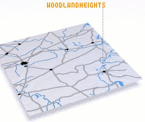 Places with similar names to Woodland Heights, United States - USA ::
// Woodland Heights (US)
// Woodland Heights (US)
// Woodland Heights (US)
// Woodland Heights (US)
// Woodland Heights (US)
// Woodland Heights (US)
// Woodland Heights (US)
// Woodland Heights (US)
Disclaimer :: Information on this page comes without warranty of any kind |
||
|
Where is Woodland Heights? Elevation and coordinates ::
Latitude (lat): 35°14'26"N Longitude (lon): 88°14'39"W
Elevation (approx.): 136m (map arrows pan, magnifying glasses zoom) |
||
|
Visiting Woodland Heights? Hotel/Accommodation ::
Book a hotel in Woodland Heights Travel Guide ::
rental cars ::
car rental offers GPS waypoint ::
download a GPX waypoint (PoI) of Woodland Heights for your GPS receiver
|
||