|
search place name
|
||
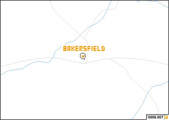
Bakersfield (Texas, United States - USA)Bakersfield is a town in the Texas region of United States - USA. An overview map of the region around Bakersfield is displayed below.
regional and 3d topo map of Bakersfield, United States - USA ::
Bakersfield airports ::
The nearest airport is MAF - Midland Intl, located 116.9 km north of Bakersfield.
Other airports nearby include INK - Winkler Co (130.8 km north west), SJT - San Angelo Rgnl Mathis Fld (179.4 km east), DLF - Del Rio Laughlin Afb (224.2 km south east), CNM - Carlsbad Cavern City Air Terminal (246.0 km north west), Nearby towns ::
[all distances 'as the bird flies' and approximate]  Places with similar names to Bakersfield, United States - USA ::
Disclaimer :: Information on this page comes without warranty of any kind |
||
|
Where is Bakersfield? Elevation and coordinates ::
Latitude (lat): 30°53'28"N Longitude (lon): 102°17'51"W
Elevation (approx.): 773m (map arrows pan, magnifying glasses zoom) |
||
|
Visiting Bakersfield? Hotel/Accommodation ::
Book a hotel in Bakersfield Travel Guide ::
rental cars ::
car rental offers GPS waypoint ::
download a GPX waypoint (PoI) of Bakersfield for your GPS receiver
|
||