|
search place name
|
||
Caves Spring (Texas, United States - USA)Caves Spring is a town in the Texas region of United States - USA. An overview map of the region around Caves Spring is displayed below.
regional and 3d topo map of Caves Spring, United States - USA ::

Caves Spring airports ::
The nearest airport is TXK - Texarkana Rgnl Webb Fld, located 66.1 km north east of Caves Spring.
Other airports nearby include GGG - Longview East Texas Rgnl (70.9 km south west), SHV - Shreveport Rgnl (78.9 km south east), BAD - Shreveport Barksdale Afb (86.2 km south east), TYR - Tyler Pounds Rgnl (116.1 km south west), Nearby towns ::
Fairview (3.0km south east) //
Lanier (4.2km south east) //
Linden (6.0km north east) //
Bear Creek (6.3km south west) //
Pruett (9.2km south east) //
[all distances 'as the bird flies' and approximate] 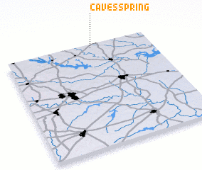 Places with similar names to Caves Spring, United States - USA ::
// Cave Spring (US)
// Cave Spring (US)
// Cave Spring (US)
// Cave Spring (US)
// Cave Spring (US)
// Cave Spring (US)
// Cave Spring (US)
// Cave Spring (US)
// Cave Spring (US)
Disclaimer :: Information on this page comes without warranty of any kind |
||
|
Where is Caves Spring? Elevation and coordinates ::
Latitude (lat): 32°58'0"N Longitude (lon): 94°23'57"W
Elevation (approx.): 121m (map arrows pan, magnifying glasses zoom) |
||
|
Visiting Caves Spring? Hotel/Accommodation ::
Book a hotel in Caves Spring Travel Guide ::
rental cars ::
car rental offers GPS waypoint ::
download a GPX waypoint (PoI) of Caves Spring for your GPS receiver
|
||