|
search place name
|
||
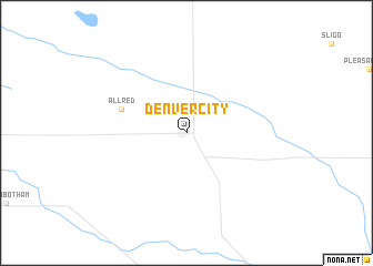
Denver City (Texas, United States - USA)Denver City is a town in the Texas region of United States - USA. An overview map of the region around Denver City is displayed below.
regional and 3d topo map of Denver City, United States - USA ::
Denver City airports ::
The nearest airport is LBB - Lubbock Preston Smith Intl, located 121.6 km north east of Denver City.
Other airports nearby include MAF - Midland Intl (127.7 km south east), INK - Winkler Co (136.0 km south), CNM - Carlsbad Cavern City Air Terminal (151.5 km south west), ROW - Roswell Intl Air Center (163.2 km west), Nearby towns ::
Allred (6.0km north west) //
[all distances 'as the bird flies' and approximate] 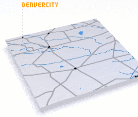 Places with similar names to Denver City, United States - USA ::
// Town Forest (US)
Disclaimer :: Information on this page comes without warranty of any kind |
||
|
Where is Denver City? Elevation and coordinates ::
Latitude (lat): 32°57'52"N Longitude (lon): 102°49'43"W
Elevation (approx.): 1091m (map arrows pan, magnifying glasses zoom) |
||
|
Visiting Denver City? Hotel/Accommodation ::
Book a hotel in Denver City Travel Guide ::
rental cars ::
car rental offers GPS waypoint ::
download a GPX waypoint (PoI) of Denver City for your GPS receiver
|
||