|
search place name
|
||
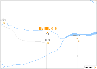
Denworth (Texas, United States - USA)Denworth is a town in the Texas region of United States - USA. An overview map of the region around Denworth is displayed below.
regional and 3d topo map of Denworth, United States - USA ::
Denworth airports ::
The nearest airport is AMA - Rick Husband Amarillo Intl, located 101.8 km west of Denworth.
Other airports nearby include LTS - Altus Afb (146.5 km south east), LBB - Lubbock Preston Smith Intl (222.0 km south west), Nearby towns ::
Back (3.2km south) //
[all distances 'as the bird flies' and approximate] 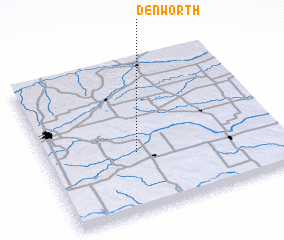 Places with similar names to Denworth, United States - USA ::
Disclaimer :: Information on this page comes without warranty of any kind |
||
|
Where is Denworth? Elevation and coordinates ::
Latitude (lat): 35°23'38"N Longitude (lon): 100°36'27"W
Elevation (approx.): 781m (map arrows pan, magnifying glasses zoom) |
||
|
Visiting Denworth? Hotel/Accommodation ::
Book a hotel in Denworth Travel Guide ::
rental cars ::
car rental offers GPS waypoint ::
download a GPX waypoint (PoI) of Denworth for your GPS receiver
|
||